Freight transport study for the Rhineland metropolitan region

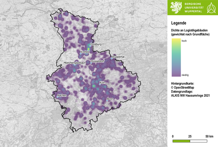
This study is intended to serve as a regional link between transport infrastructure development and land development. It is also intended to contribute to regionally coordinated planning in the area of freight transport in the Rhineland metropolitan region.
The overall objective of the project is, on the one hand, to determine the need for infrastructural action in the Rhineland metropolitan region, particularly in the area of rail infrastructure, which goes beyond the current planning status. At the same time, areas from the existing land supply for commercial and industrial sites are to be qualified for the settlement of transport-intensive uses. The aim is to locate rail-related industries close to the rail network and at the same time to be able to handle the traffic resulting from settlements in a spatially compatible manner. This means on the one hand to protect sensitive uses such as residential areas and at the same time to divert the resulting traffic demand to uncongested network sections.
The methods available at the Chair of Freight Transport Planning and Transport Logistics for the network design of transport networks and the spatial classification of freight transport locations are used for this purpose.

